
Cartography between Europe and the Islamic World
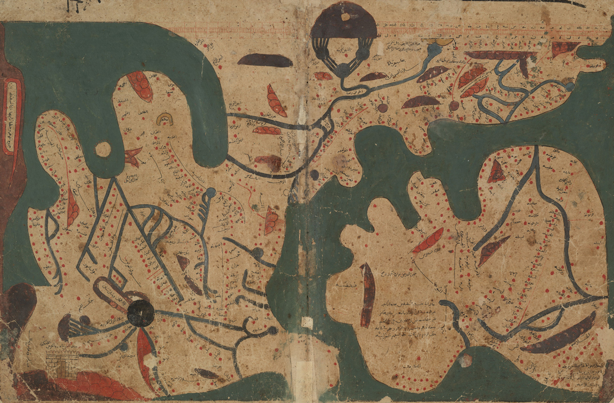
Book of Curiosities (MS Arab. c. 90). Copyright Bodleian Library.
The Leverhulme Network ‘Cartography between Europe and the Islamic World’ brings together experts in the history of European and Islamic cartography to develop innovative, comparative approaches to maps made in Europe and the Islamic world between 1100 and 1600.
Partners: Institut für den Nahen und Mittleren Osten (LMU Munich), École Pratique des Hautes Études (Paris), The Bodleian Library, Factum Arte, Warburg Institute, British Library.